
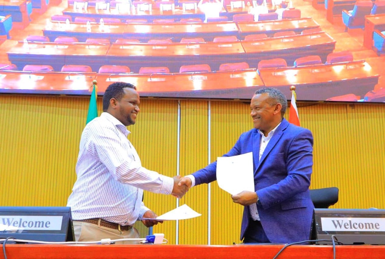
National Space and International GIS (GIS) day was celebrated in Harar city.
National space and international GIS (GIS) day has been celebrated in Harar with different events.
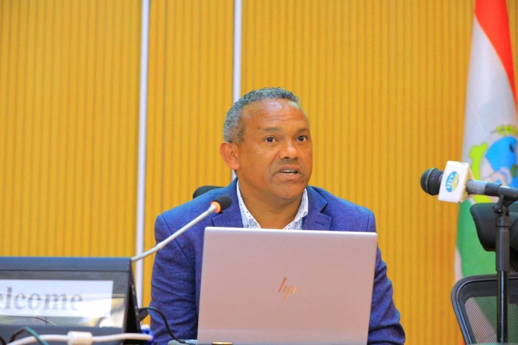
As stated by Mr. Abdisa Yilma, the director of the Space Science and Geospatial Institute, to make a digital Ethiopia a reality, preparing a timely tourism road map and updating the genre is one of the tasks that the space science GIS does.
They have stated that by linking it with the urban development plan, illegal land encroachment and illegal construction can be controlled by using modern satellites.
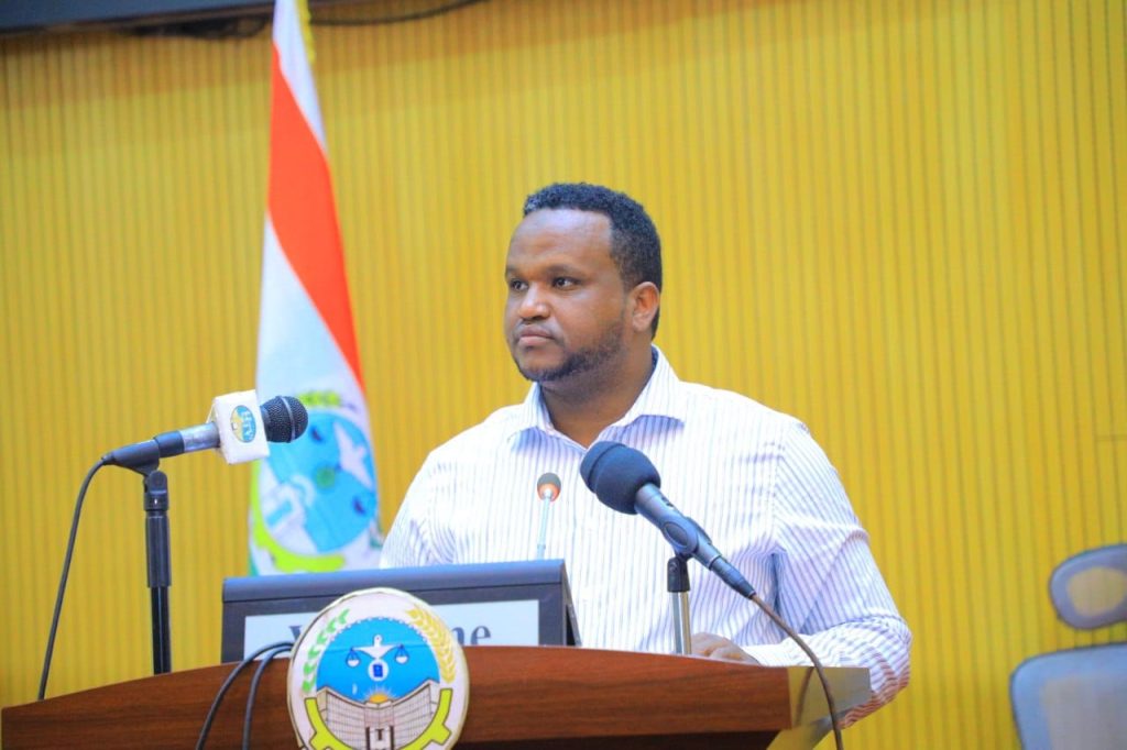
The head of the Harari region innovation and technology agency Mr. Jemal Ibrahim has said that he is doing a wide range of works in the region and has said that Harar tourism destination is being developed with technology and modernization of different applications.
It is said that knowing the resources we have using space science and GOIS and making access to technology-assisted employment will help increase the benefit of society.
On the stage, research and research done regarding space science international GIS are presented to the participants.
The program was also attended by the director of the Space Science and Geospatial Institute, Mr. Abdisa Yilma, Harari Region Innovation and Technology Manager Mr. Jemal Ibrahim and invited guests.
0 Comments